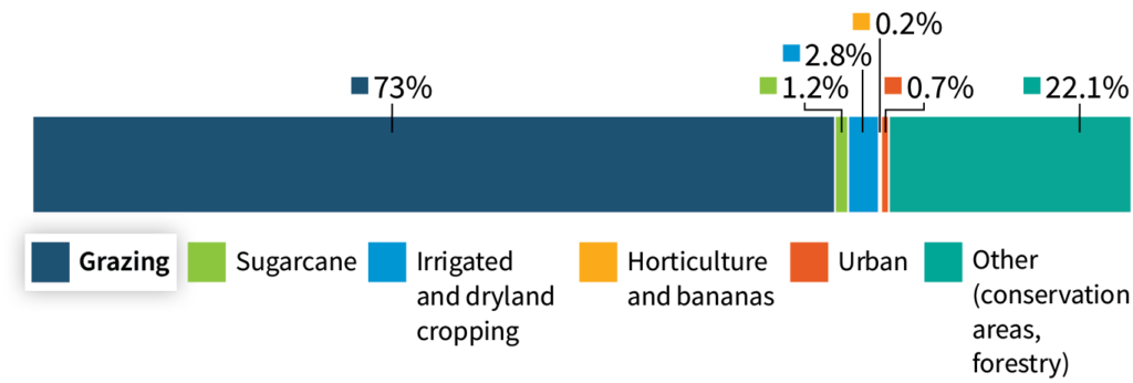
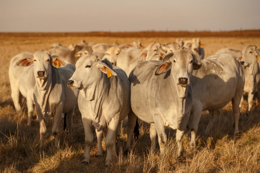
Grazing is the biggest land use in the Great Barrier Reef catchment area occupying 31.1 million hectares of land (73% of the catchment). Grazing lands can be vulnerable to soil erosion and are estimated to contribute 60% of the total load of fine sediment exports to the Great Barrier Reef. Several land management practices and remediation actions in grazing areas are proven to be cost-effective in improving water quality, but translating these into more substantial pollutant reductions will require significant scaling up, prioritisation of pollutant hotspots, and greater knowledge of the costs and co-benefits of practice adoption.
Water quality and the Great Barrier Reef
Poor water quality, which can be caused by elevated levels of fine sediments, nutrients and pesticides, has a detrimental impact on Great Barrier Reef ecosystems, particularly freshwater, estuarine, coastal and inshore marine ecosystems. These environments provide critical ecosystem services and have high tourism, aesthetic, cultural, recreational and economic values.
How do land-based activities affect water quality?
The Great Barrier Reef catchment area has been modified by changes in land use over time. These modifications affect the type and amount of materials that runoff from the land and enter our waterways.
Land use change has increased the amount of fine sediment and particulate nutrients that reaches the Great Barrier Reef by 1.4–5 times compared to pre-development conditions (with variations depending on basins).
Land uses in the Great Barrier Reef catchments
How do grazing lands contribute to overall pollutant loads?
Sediment and particulate nutrients can be delivered to the Great Barrier Reef from soil that enters river systems through hillslope, streambank and gully erosion. Land used for grazing is the largest contributor of fine sediments to the Great Barrier Reef because it is by far the biggest land use by area. Other intensive land uses (such as mining and urban areas) can generate large amounts of fine sediment locally but cover a smaller area. Grazing lands also contribute 22% of dissolved inorganic nitrogen exports, through increased erosion and transformation of particulate nutrients to dissolved form (termed ‘bioavailable nutrients’) during transport. While pesticides are used over large areas of grazing lands, the relative ecological toxicity of the dominant pesticide used (tebuthiuron), is low compared to other pesticides.
Fine sediment and particulate nutrient loads by land use

Dissolved inorganic nitrogen loads by land use

How are changes to land-based runoff measured
Scientists use multiple lines of evidence to estimate changes over time

Monitoring

Modelling

Remote sensing

Proxy records (e.g. trace elements) from sediment and coral cores

Geochemical and isotope tracing
Which areas are the dominant sources of key pollutants associated with grazing?
The Burdekin and Fitzroy basins are by far the largest exporters of total fine sediment and particulate nutrients to the Great Barrier Reef (including anthropogenic exports) and a large proportion of these basins are used for grazing. Each basin exports a total annual average load of over 1,300 kilotonnes of fine sediment and more than 3,000 tonnes of particulate nitrogen. The Mary, Herbert and Burnett River basins are the next largest exporters of fine sediment to the Great Barrier Reef (up to 600 kilotonnes each year), and the Don, O’Connell, Johnstone and Normanby basins can export over 150 kilotonnes of fine sediments each yearnoting that the diversity in land use varies between these basins.
Drivers and transport pathways
Main drivers of sediment and particulate nutrient exports:
Overgrazing

Land clearing

Tillage
Sediment sources:
Gully erosion 54%
Hillslope erosion 22%
Streambank erosion 24%
Management options
Actions are
most cost-effective
when targeted at hotspots
Reducing erosion reduces
both particulate and dissolved nutrients
Revegetation of streambanks and protecting existing vegetation
helps to reduce erosion
Large-scale remediation of gullies can reduce sediment exports by
more than 90%
within 1-2 years
Much of the export comes from a relatively small area. For example, in the Bowen catchment:
30% of the sediment from gully erosion comes from 2% of the gullies
Effective management practices that lead to water quality improvements in grazing lands:
Moderate and adaptive stocking rates
>70% ground cover
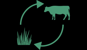
Regular periods of strategic rest from grazing
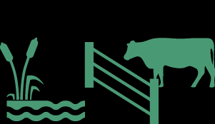
Cattle exclusion from fragile land-types
Improved soil health and pasture establishment
Vegetation buffers
These practices can lead to other co-benefits like improved soil health, higher levels of soil carbon and greater biodiversity
Potential ecosystem impacts
Fine sediment and particulate nutrients in flood plumes can reduce water clarity (increase turbidity). Changes to the quantity and quality of light in the water column can negatively affect organisms that depend on adequate light levels for growth and energy supplies (e.g. corals and seagrasses)
Water clarity improves with increasing distance from river mouths
The greatest impacts of fine sediments and particulate nutrients occur in the inshore central and southern Great Barrier Reef (Wet Tropics to Burnett Mary Natural Resource Management regions)
Increased sediment decreases abundance, diversity, spatial extent and recovery rates of inshore seagrass meadow and coral reef ecosystems, and their associated communities including fish and dugong
Burial or smothering of corals and seagrasses by sediment can cause tissue damage, reduce growth rates, and alter microbial communities. These impacts can be exacerbated by climate change pressures