Sediments and particulate nutrients

What are the spatial and temporal distributions of terrigenous sediments and associated indicators within the Great Barrier Reef? [Q3.1]
What is the variability of turbidity and photic depth in coastal and marine areas of the Great Barrier Reef? [Q3.1.1]
Authors: Stephen Lewis1, Zoe Bainbridge1, Scott Smithers1,2
Affiliations: 1Centre for Tropical Water & Aquatic Ecosystem Research (TropWATER), James Cook University, 2Earth and Environmental Sciences, College of Science and Engineering, James Cook University
Evidence Statement
The synthesis of the evidence for Question 3.1 was based on 150 studies undertaken in the Great Barrier Reef and published between 1968 and 2022. The synthesis includes a High diversity of study types (72% observational i.e., monitoring, sediment grabs/cores, 11% combined observational/modelling i.e., remote sensing, turbidity measurements combined with numerical modelling, 7% computational modelling, 7% conceptual understanding and 3% modelling/experimental studies), and has a High confidence rating (based on High consistency and High overall relevance of studies).
Summary of findings relevant to policy or management action
There are distinct patterns of sediment composition across the continental shelf of the Great Barrier Reef. The inner shelf (up to 20 metres water depth) is dominated by land-derived ‘terrigenous’ sediment shifting to predominantly marine sediment derived from corals and shells in the outer shelf (>40 metres depth). These cross-shelf patterns are driven by a combination of the dominant south-east trade winds which typically ‘hold’ the sediment inshore and drive flood plumes along the coast, the depth limit of wave resuspension which is up to 22 metres, and cyclones that promote strong longshore shelf-parallel currents. While most sediment-laden flood plumes are also constrained within the inner shelf of the Great Barrier Reef, appreciable fine-grained (<20 µm) terrigenous sediment loads can be carried to the middle[1] shelf and even the outer shelf (particularly for the areas northwards of Bowen where the middle and outer shelf zones are closer to the coast) during periods of large riverine discharge that coincide with low wind speeds, although these events occur less frequently. In-situ monitoring and remote sensing data show a clear spatial gradient of decreasing turbidity levels with increasing distance from river mouths. This spatial gradient is likely related to the depth of the water column (i.e., ability for wave resuspension) and the availability of sediment on the seafloor to be readily resuspended. Multiple lines of evidence from turbidity loggers, remote sensing and modelling show that elevated and prolonged turbidity levels and corresponding longer periods of diminished useable light in the water column in certain areas of the inner and middle shelfs of the Great Barrier Reef coincide with years of increased river discharge and associated sediment loads. The change in river discharge and increase in sediment loads since the arrival of Europeans greatly influences the area of the inner and middle shelfs affected by the diminished light.
[1] In terms of bathymetry, which is linked to sediment characteristics, the Great Barrier Reef is defined as inner shelf (up to 20 metres depth), middle shelf (20 to 40 metres depth) and outer shelf (more than 40 metres depth).
Supporting points
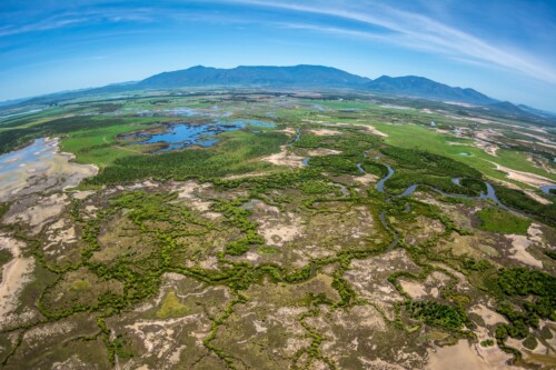
- Several studies show that most river-exported terrigenous sediment is deposited and retained within river floodplains, river estuaries, close to river mouths and within the eastern sections of north-facing embayments. Nearshore and inshore fringing coral reefs also host considerable proportions of terrigenous sediments within their internal structures. Sediment modelling exercises indicate that most of the terrigenous sediment (including both coarse and fine particles) is deposited and retained in close vicinity to river mouths. However, a proportion of the fine terrigenous sediment (<20 µm) load can be carried within flood plumes to the inner and middle shelfs.
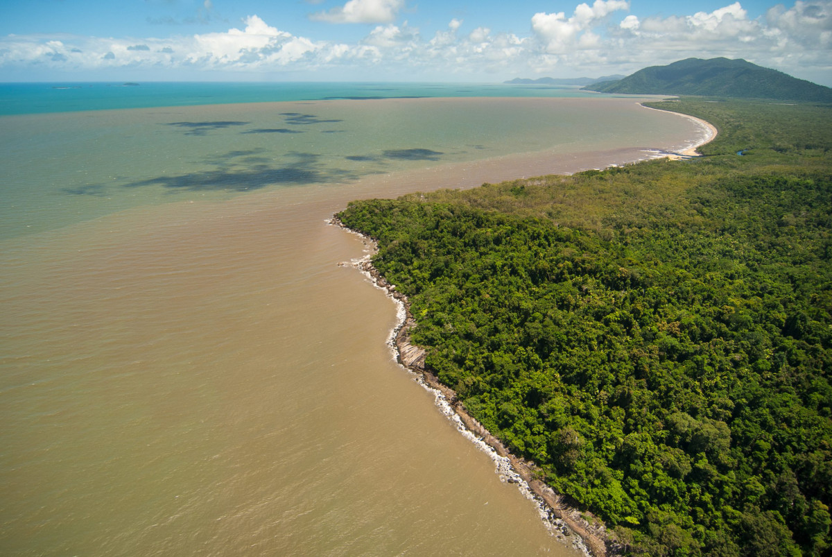
- There is abundant literature that show terrigenous sediment concentrations in flood plumes are highest at the river mouths with a rapid decline in concentrations within the 0 to 10 practical salinity units (PSU; i.e., a unitless scale that measures salinity of the water where 0 PSU = freshwater and ~35 PSU = seawater) salinity zone due to flocculation processes which occur when sediment particles stick together as a result of salinity changes or biological production. This 0 to 10 PSU zone typically occurs within 20 km of the river mouth and is dependent on the volume of discharge.
- Studies on particulate nutrients in flood plumes and river estuaries highlight the potential for rapid transformation of particulate nutrients to bioavailable forms (dissolved nutrient forms that are readily consumed by algae) within coastal areas. Frequent resuspension of sediments within estuaries and the coastal zone helps promote rapid cycling of particulate nutrients which are largely mineralised through microbial communities.
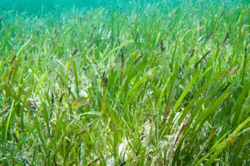
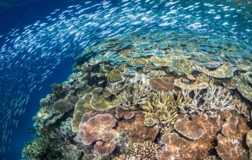
- The quality of light for photosynthesis is predominantly influenced by the amount of suspended particulate matter in the water column. Turbidity as low as <5 nephelometric turbidity units (a measure for how cloudy the water is) can greatly attenuate light reaching the seafloor. The quality of light reaching the seafloor is critical to many communities including seagrass meadows and coral reefs.
- The dominant influences on turbidity (i.e., water clarity) and photic depth (i.e., the depth in the water column that photosynthetically usable light can reach) in the inner shelf of the Great Barrier Reef is primarily from wave-driven resuspension with tidal resuspension as a secondary influence. Resuspension of sediments on the inner shelf in conjunction with tidal and wave currents can transport sediments to other sediment repositories such as mangroves, beaches and sheltered embayments.
- Independent remote sensing analysis and modelling outputs support the findings that river discharge and associated loads significantly influence turbidity and photic depth regimes along sections of the inner and middle shelfs of the Great Barrier Reef.
- A proportion of the fine-grained (<20 µm) riverine sediment travels furthest in the Great Barrier Reef, settles as an uncompacted ‘fluffy layer’ on the seafloor and is hence more easily resuspended under less-energetic wave events relative to the existing compacted sediment on the seafloor. This process results in longer periods of diminished light in sections of the inner and middle shelfs in the years of above average discharge and sediment loads.
- Sediment cores taken offshore from the continental shelf (i.e., Queensland Trough) reveal that there is modern (i.e., over the past 8,000 years) terrigenous sediment flux to the continental shelf, accounting for up to 13% of the riverine inputs depending on the location, but the mechanism for such transport is unclear.
- While the recent research outputs (2016-2022 period) have made little change to the key conclusions for this question, the new research has strengthened the existing findings, and in some cases, contributed to form multiple lines of evidence. This includes consistent findings from additional remote sensing and modelling analysis as well as from new monitoring data.

Related questions
Related topic summaries