Sediments and particulate nutrients

How much anthropogenic sediment and particulate nutrients are exported from Great Barrier Reef catchments (including the spatial and temporal variation in delivery), what are the most important characteristics of anthropogenic sediments and particulate nutrients, and what are the primary sources? [Q3.3]
Authors: Ian P Prosser1, Scott N Wilkinson2
Affiliations: 1Centre for Applied Water Science, University of Canberra, 2CSIRO Environment
Evidence Statement
The synthesis of the evidence for Question 3.3 was based on 119 studies undertaken mostly in the Great Barrier Reef and published between 1990 and 2022. The synthesis includes a High diversity of study types (64% observational, 22% modelling, 9% combined and 5% reviews), and has a High confidence rating (based on High consistency and High overall relevance of studies).
Summary of findings relevant to policy or management action
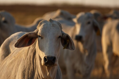
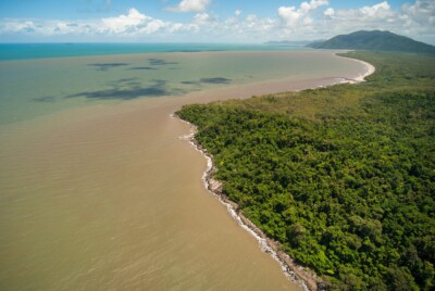
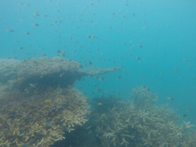
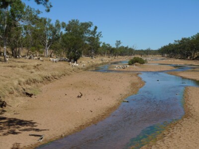
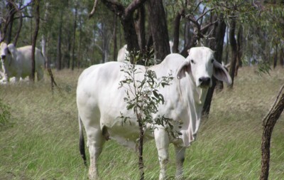
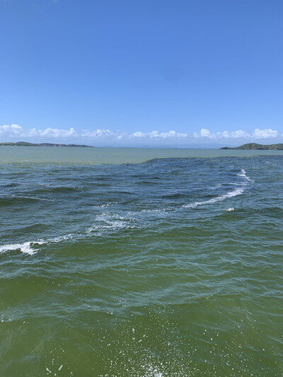
There is a strong body of evidence showing that current exports of fine sediments from the Great Barrier Reef catchment to the Great Barrier Reef are well above pre-development rates. Overall, exports of anthropogenic[1] fine sediment are 1.4 to 3 times higher than pre-development estimates, and in the largest basins 2 to 5 times above pre-development rates. Monitoring and modelling confirm that the Burdekin and Fitzroy basins are by far the largest exporters of total fine sediment and particulate nutrients to the Great Barrier Reef, each exporting an annual average load of over 1,300 kilotonnes of fine sediment per year and more than 3,000 tonnes of particulate nitrogen per year. These basins also have the highest anthropogenic exports. Grazing land use is the largest contributor of fine sediment export to the Great Barrier Reef, estimated to be 60% of the total load, with all other land uses each contributing much smaller amounts (linked to total land area). Hillslope, gully and streambank erosion are each important sources of fine sediment in particular regions. These findings are supported by multiple lines of evidence including monitoring, modelling and radioisotope tracing studies.
[1] The end-of-catchment anthropogenic load of fine sediment or particulate nutrients is calculated as the current end-of-catchment load minus the predicted end-of-catchment pre-development load.
Supporting points
- Rates of increase[2] of fine sediment exports over pre-development rates are lower in the Cape York and Wet Tropics Natural Resource Management regions than in other regions.
- Following the Burdekin and Fitzroy basins, the Mary, Herbert and Burnett River basins are the next largest exporters of fine sediment to the Great Barrier Reef (up to 600 kilotonnes per year). Other basins in the Great Barrier Reef catchment that export notable fine sediment loads (over 150 kilotonnes per year) include the Don, O’Connell, Johnstone and Normanby basins. All of these basins have a high proportion of anthropogenic exports.
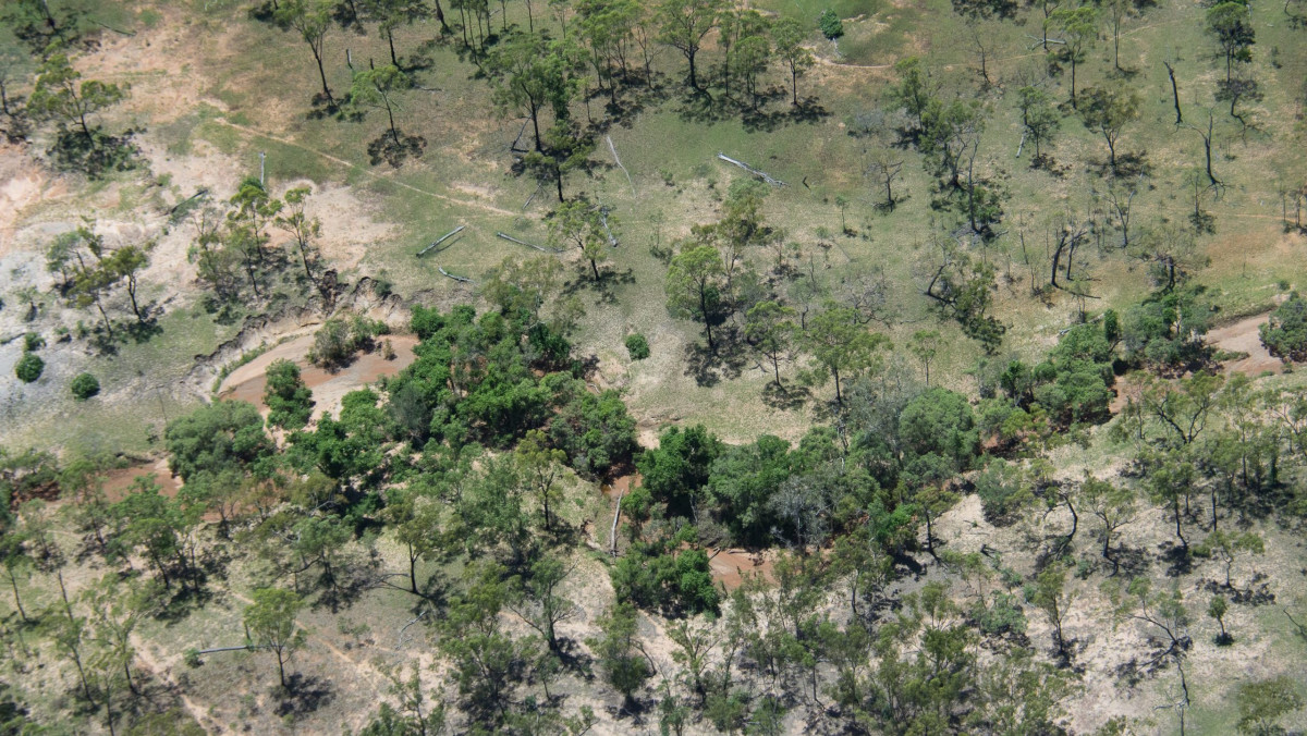
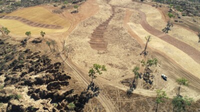
- It is estimated that 54% of the total export of fine sediment to the Great Barrier Reef comes from gully erosion, with almost equal contributions from streambank erosion (24%) and hillslope erosion (22%). Each process can dominate in particular basins. In the wet tropical climatic areas, hillslope erosion tends to be the dominant source. In the dry tropical areas, gully erosion is by far the biggest source. Intensity of erosion is influenced by soil properties, rainfall and other attributes.
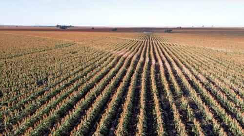
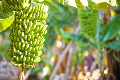
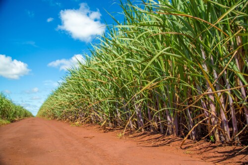
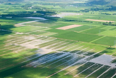
- The estimated proportion of total fine sediment loads exported to the Great Barrier Reef from each land use is well established through modelling, supported by monitoring data. It is estimated that grazing lands contribute 60% of the total fine sediment load from 73% of the Great Barrier Reef catchment area, sugarcane contributes 10% from 1.2% of the area, irrigated and dryland cropping contribute 4% from 2.8% of the area, urban contributes 2% from 0.7% of the area, and bananas and horticulture contribute 1% from 0.2% of the area. Other land uses such as nature conservation and forestry collectively contribute 23% of the total fine sediment load from approximately 22.1% of the Great Barrier Reef catchment area, but this is natural, not anthropogenic export. Anthropogenic load contributions of agricultural and urban land uses are much higher than those of conservation areas.
- The land use contributing the largest export of fine sediment varies between regions. For example, grazing contributes significantly to exports in the Burdekin and Fitzroy regions, sugarcane contributes significantly to exports in the Wet Tropics and Mackay Whitsunday regions, and dryland cropping in the Fitzroy region. Urban land use contributes <5% of fine sediment export in all regions.
- Observational studies show that intense land uses such as mining and urban areas can generate large sources of fine sediment locally but cover a relatively small proportion of the Great Barrier Reef catchment area and overall exports are relatively low.
- The Burdekin, Fitzroy, Mary and Herbert River basins are also the largest exporters of particulate nutrients (nitrogen and phosphorus) to the Great Barrier Reef. There are no independent measures of pre-development particulate nutrient exports.
- Particulate nutrient export from the Great Barrier Reef catchment generally follows similar patterns to fine sediment due to the strong correlation between particulate nutrient and fine sediment. For both particulate nitrogen and phosphorus, however, there is a more even distribution across the basins in terms of relative contributions, than there is for fine sediment; this is partly linked to soil types.
- In most basins, hillslope erosion is estimated to be the most important source of particulate nutrients due to higher nutrient content in surface soils.
- Fine sediment and particulate nutrient export occurs mainly during floods and the larger the flood event in a particular basin, the greater the export. However, the intermittent frequency of large floods means that annual exports can vary by up to three orders of magnitude in the large dry basins such as the Burdekin and Fitzroy.
- The Reef Water Quality Report Card 2020 estimates that ’Moderate’ overall progress has been made towards meeting the fine sediment load reduction target and ‘Very Good’ progress for the particulate nutrient load reduction targets. In some basins, targets have been exceeded while in others which were not given management priority, there has been little progress. For some management actions it may be several years until the benefits of management are fully realised, and it will take decades to detect reduced exports in the monitoring program because of the high annual variability of exports controlled by river discharge.
- Significant improvements have been made to the Paddock to Reef Program SedNet model (referred to as Source Catchments) in the last few years and it now better matches observed patterns of fine sediment and particulate nutrients. It provides the best available estimates of fine sediment and particulate nutrient exports as a result of the consistency in approach across all 35 basins and the wealth of information that can be extracted from the results.
[2] The rate of increase between the current and pre-development loads is formally referred to as the ‘rate of acceleration’ and is calculated by the division of the current load by the pre-development load.

Related questions
Related topic summaries