Values, condition and drivers of health of the Great Barrier Reef

What evidence is there for changes in land-based runoff from pre-development estimates in the Great Barrier Reef? [Q2.3]
Authors: Stephen Lewis1, Zoe Bainbridge1, Scott Smithers1,2
Affiliations: 1Centre for Tropical Water & Aquatic Ecosystem Research (TropWATER), James Cook University, 2Earth and Environmental Sciences, College of Science and Engineering, James Cook University
Evidence Statement
The synthesis of the evidence for Question 2.3 was based on 128 studies undertaken in the Great Barrier Reef published between 1990 and 2022. The synthesis includes a High diversity of study types (44% proxy, 20% marine sediment cores, 15% monitoring, 12% observational and 9% modelling type studies), and has a Moderate–High confidence rating (based on Moderate-High consistency and High overall relevance of studies).
Summary of findings relevant to policy or management action
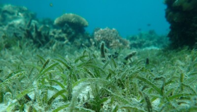
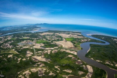
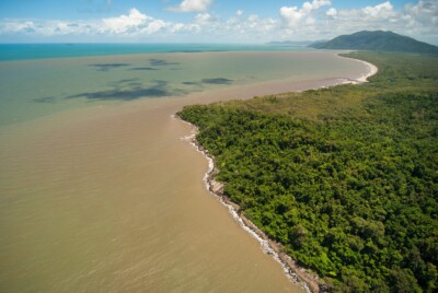
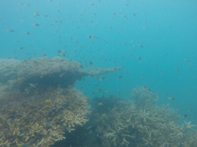
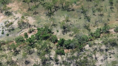
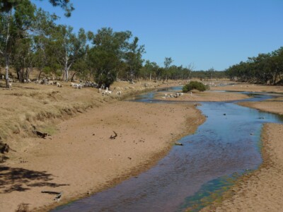
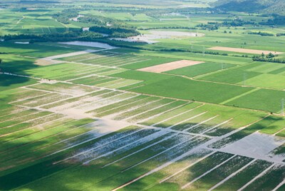
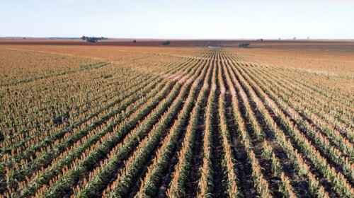
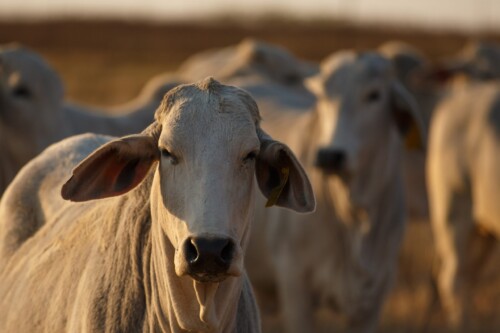
There are multiple lines of evidence demonstrating that the loads of suspended sediment, dissolved and particulate nutrients (nitrogen and phosphorus), and pesticides have increased for most river basins of the Great Barrier Reef catchment area since the arrival of Europeans c. 1850. Evidence of increases in catchment loads comes from fluvial proxy records, coral core proxies, water quality monitoring and subcatchment and catchment-scale modelling exercises. The increases in loads have largely occurred because catchments have been modified for the major land uses of livestock grazing (73% of catchment area), irrigated and dryland cropping (2.8%), sugarcane (1.2%), horticulture and bananas (0.2%), urban development (0.7%) and mining (0.3%). These modifications, combined with climate variability, result in more frequent, larger-volume river discharge events interspersed with drought periods that reduce ground cover, which then leads to higher sediment yields during ‘drought-breaking’ rainfall events. The footprint of increased land-based runoff and pollutant loads within the Great Barrier Reef is most pronounced in estuarine and nearshore environments, but based on coral cores and other proxy records can be seen on the inner Great Barrier Reef shelf over 100 km alongshore from the river mouth of influence. However, proxy records derived from reefs in some parts of the inner shelf, but particularly for the middle and outer shelfs[1], are more subtle and variable in showing direct association with land-based sediments than those derived from the nearshore settings. This variability will reflect the spatial differences of exposure to land-based runoff but also the complex bio-geochemical processes that are active within flood plumes during the transport of materials over greater distances.
[1]In terms of bathymetry, which is linked to sediment characteristics, the Great Barrier Reef is defined as inner shelf (up to 20 metres depth), middle shelf (20 to 40 metres depth) and outer shelf (more than 40 metres depth).
Supporting points
- Time series data of land use change in the Great Barrier Reef catchment area from 1860 to 2019 show extensive modification of most river basins for livestock grazing, cropping and urban developments.
- A range of fluvial proxy records – including Beryllium-10 isotopes, sediment deposition records from lakes, floodplains and river benches, water quality and observational measurements from different land uses – almost universally indicates increased sediment erosion since European arrival.
- Catchment modelling of river basin loads of fine sediment and nutrients identify substantial increases during the post-European arrival period for most Great Barrier Reef basins. Exceptions include basins that have relatively low areas of intensive land use modification, which are mainly situated within the Cape York Natural Resource Management region.
- The latest Source Catchments modelling suggests that sediment loads have more than tripled for most basins within the Burdekin, Mackay Whitsunday, Fitzroy, and Burnett Mary regions (exceptions include the Black, Proserpine, Shoalwater, and Waterpark Basins). The basins of the Cape York region have modelled load increases of 1.3-fold or less except for the Normanby Basin where projected loads have increased 5-fold. These increases are validated by multiple lines of independent evidence including a number of catchment proxy studies, land use-focused water quality monitoring data and coral core proxy data.
- Based on the latest Source Catchments modelling, dissolved inorganic nitrogen loads from basins with intensive cropping, such as sugarcane areas in the Wet Tropics region, have increased by 1.5 to 3-fold from pre-development loads. Evidence of these increases is supported by land use-focused water quality monitoring data.
- Luminescent lines in corals (proxy for river discharge) from various locations on the Great Barrier Reef show a marked increase in the frequency and size of river discharge events from the 1850s, and again from the 1950s, when compared to a long-term background dataset extending over the past 400 years. This increase is correlated with changes in the frequency and intensity of El Niño Southern Oscillation (ENSO) events and the behaviour of the Indo-Australian monsoon across northern Australia, as well as from increased runoff likely due to widespread land clearing (and resulting catchment hardening).
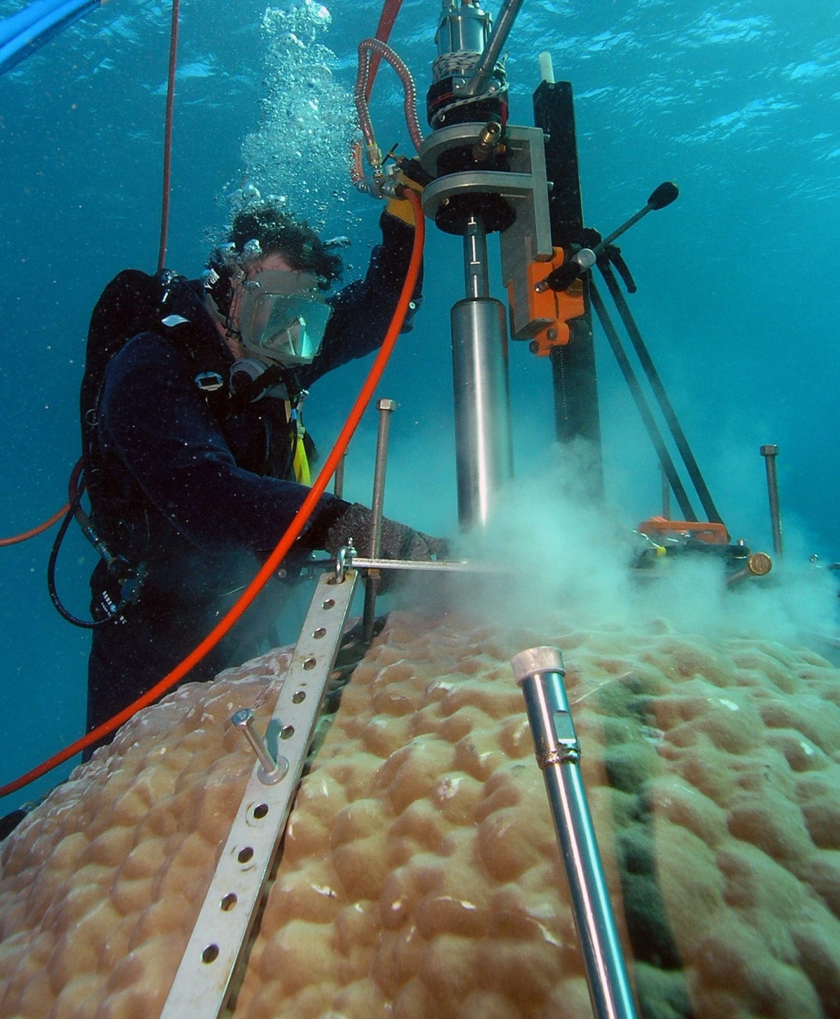
- Chemical elements incorporated within coral cores highlight increased land-based runoff (i.e., freshwater discharge and sediment) at a multitude of inshore sites within the Great Barrier Reef following the arrival of Europeans. Evidence of increased nitrogen loads using coral core proxies is less conclusive.
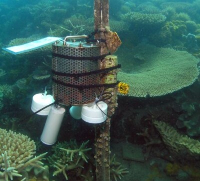
- New coral proxies to help reconstruct changes in sediment and nutrient exposure, including rare earth elements and nitrogen isotopes respectively, are under development for application in the Great Barrier Reef.

Related questions