Pesticides and other pollutants

What is the spatial and temporal distribution and risk of other pollutants in the Great Barrier Reef ecosystems, and what are the primary sources? [Q6.1]
Authors: Anthony Chariton¹, Natalie Hejl¹
Affiliations: ¹Macquarie University
Evidence Statement
The synthesis of the evidence for Question 6.1 was based on 92 studies undertaken in the Great Barrier Reef and published between 1990 and 2023. The synthesis includes a Low to High diversity of study types (77% observational studies and 23% experimental studies) and has a Limited to Moderate confidence rating depending on the pollutant and is based on mixed but mostly Low to Moderate consistency and Moderate overall relevance of studies.
Summary of findings relevant to policy or management action
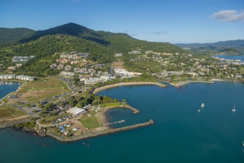
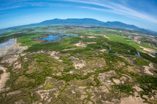
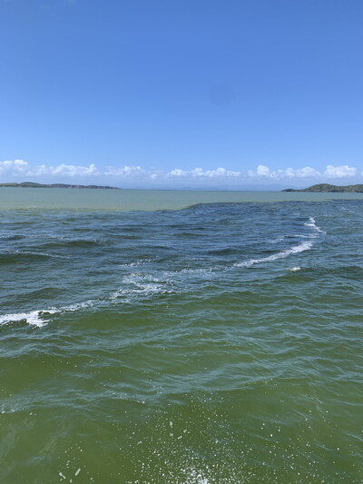
While nutrients, sediments and pesticides are well documented and routinely monitored in the Great Barrier Reef, there are many other pollutants that can enter the waters and sediments that could impact a range of ecosystems. In this synthesis, seven pollutant groups were examined (Great Barrier Reef studies in brackets): metals (44), Persistent Organic Pollutants (POPs; 19), Per- and poly-fluoroalkyl substances (PFAS; 1), plastics (19), pharmaceutical, veterinary, and personal health care products (PVPs; 4), coal and fly ash (5), and sunscreens (none). Fundamental data and establishment of water and sediment guidelines values for most pollutant groups in the Great Barrier Reef are lacking, most notably for coal, per- and poly-fluoroalkyl substances, pharmaceutical, veterinary, and personal health care products and sunscreens. This prevents any reliable assessment of spatial patterns, temporal trends, or exposure risk for ecosystems and biota. Sediment guideline values still need to be established for some metals (e.g., manganese, aluminium). This limits the ability to assess ecological risks, particularly for tropical ecosystems, as guidelines are predominantly derived from temperate biota. Across pollutant groups, most datasets have a coastal focus and involve the same few locations, notably Port Curtis (Gladstone), Hay Point (Mackay), Townsville, and Cairns. Few offshore environments have been sampled, with high variability in the types of pollutants assessed between the studies. In contrast to programs assessing nutrients, sediments and pesticides in the Great Barrier Reef, there are very few routine monitoring programs for these pollutant groups, with the exception of some monitoring within the Regional Report Cards (e.g., Gladstone, Dry Tropics and Mackay Whitsunday) for which the raw data are not publicly available. A more cohesive and co-ordinated approach to examine the interaction of multiple pollutants and stressors, including climate change, is required. Ecotoxicological studies that employ multiple lines of evidence are urgently required for all pollutant groups identified in the Great Barrier Reef to understand the risks they pose to Great Barrier Reef biota and ecosystems.
Supporting points
Metals
- Metal concentrations in water and sediments are higher in more industrial and developed coastal environments compared to less developed catchments and offshore areas. There is limited published temporal data for metal concentrations in water, sediments and biota in the Great Barrer Reef generally, and more particularly in less developed areas.
- Concentrations of metals in water above national water quality guideline values are rarely documented, but have been recorded in some studies including copper (associated with legacy mining in the Fitzroy basin), mercury (associated with sugarcane in the Tully catchment) and aluminium (from acid sulfate soils in Trinity Bay, Cairns). These metals may be more widespread than currently recognised due to the limited data collection.
- Elevated concentrations of metals in sediments have been recorded adjacent to heavily urbanised environments including: manganese and nickel in Port Curtis; copper, nickel and zinc in Townsville Harbour; and cadmium from acid sulfate soils in Trinity Bay.
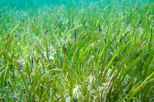
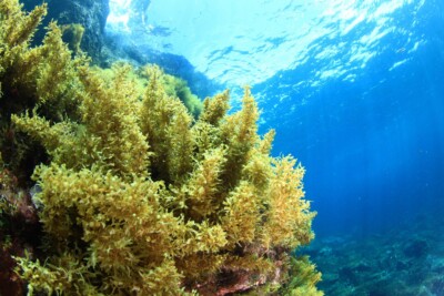
- There is some evidence that biota found inshore (e.g., seagrass, algae, turtles, corals) have higher concentrations of metals in their tissues than those found offshore and that levels can increase following runoff events.
- From the available ecotoxicological studies, the ecological risk from metals in the Great Barrier Reef is relatively low and constrained to a few locations. However, there is a lack of recent data to complete this assessment and available studies rarely considered metal speciation which is an important factor for determining metal bioavailability and ecological risk.
Persistent Organic Pollutants (POPs)
- POPs are associated with industry, oil spills, coal, and urbanisation. Some sources remain uncertain as it is unknown whether some restricted products (e.g., PCBs which require importation approval from the Department of Home Affairs under Regulation 4AB) are still being used in the region or whether the sources are legacy.
- POPs are detectable in Great Barrier Reef sediments, and from the limited data available, decrease across an inshore to offshore gradient. POPs are generally below guideline values where they have been recorded but there are exceptions (e.g., following oil spills).
- Experimental studies have shown that POPs can affect fish physiology and behaviour, coral reproduction and trophic food webs at a range of concentrations.
Per- and poly-fluoroalkyl substances (PFAS)
- There are insufficient data to provide insights about spatial or temporal patterns of PFAS in the Great Barrier Reef.
- From the single study available, PFAS were not detected at most sites in the three Natural Resource Management regions that were sampled (Wet Tropics, Mackay Whitsunday, and Fitzroy); however highly industrialised areas were not sampled.
Plastics
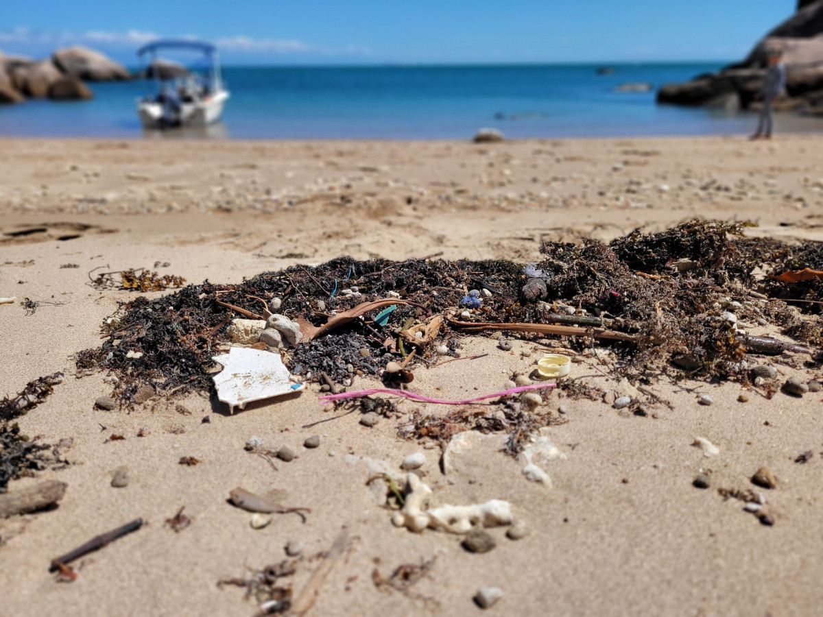
- Plastics, including microplastics and fibres, are extensively distributed in coastal and marine environments.
- The sources and types of plastics vary with geographic location. Coastal sites are influenced by surrounding land use (e.g., urbanised area), river and stormwater inputs. Offshore sites are influenced by recreational activities, tourism, commercial shipping and fishing.
- Plastics have been recorded in zooplankton, crustaceans, fishes, birds and turtles from the Great Barrier Reef. The ecological risks may vary markedly depending on species, feeding behaviour and life stages.
Pharmaceutical, veterinary, and personal health care products (PVPs)
- There are insufficient data to provide insights about spatial or temporal patterns and/or the ecological consequences of PVPs in the Great Barrier Reef.
- The sources of PVPs remain unclear, however, the limited evidence suggests that PVPs are more dominant near wastewater overflows and stormwater discharges.
Coal and fly ash
- There are insufficient data to provide insights about spatial or temporal patterns of coal and fly ash in the Great Barrier Reef.
- Polycyclic aromatic hydrocarbons (PAHs), which are most likely derived from coal, were detected in coastal sites near Hay Point (Mackay) and up to 40 nautical miles from the coast.
Sunscreens
- There were no Great Barrier Reef studies on sunscreens and hence the spatial and temporal distribution, sources and ecological impacts of UV blockers within the Great Barrier Reef are unknown. Data from international studies suggest that recreational use and wastewater are the primary sources.

Related questions
Related topic summaries